News
-
Sea level return periods: What are they and how do we use them in SurgeWatch?
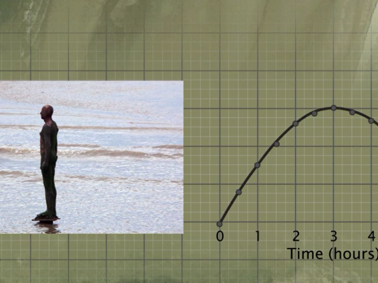
By Ivan Haigh Introduction The ‘100-year flood’ is a term many of us are used to hearing, and will be a phrase particularly familiar for those who live in flood prone areas. Using return periods like this is the standard way of describing the severity and likelihood of floods, as well as other events like hurricanes, earthquakes, droughts and heat waves. Such terms…
-
SurgeWatch features in the NERC publication Planet Earth
SurgeWatch has been featured in the winter 2015 issue of Planet Earth – a free magazine aimed at non-specialists and members of the public with an interest in environmental science, published by Natural Environment Research Council. To view a PDF document of the article featuring SurgeWatch, and for all the other articles in the publication, click here.
-
'Unprecedented' storms and floods are more common than we think
The recent flooding in north-west England during December, described as ‘unprecedented’ by many sources, are more common than we think according to a group of scientists. Researchers from the Universities of Aberystwyth, Cambridge and Glasgow have drawn on palaeoflood deposits in the UK uplands to better place the 21st-century floods within the context of hundreds of years – far longer than more-commonly analysed river…
-
December 2015: Desmond, Eva and Frank cause flood chaos and despair
SurgeWatch focuses on coastal floods, but in view of recent events it’s relevant to discuss the severe non-coastal flooding that has dramatically impacted the UK this winter. Provisional statistics from the Met Office showed that December broke records for rainfall and temperature, with some locations unfortunate enough to be in the path of ‘atmospheric rivers’ (a phenomenon forewarned of by researchers…
-
Forecasters predict historic flooding along US east coast this weekend
The US east coast could be faced with historic flooding as a major storm coincides with the highest tides of the month this weekend. The National Weather Service in the USA has advised people along parts of the US Atlantic coast to take precautions and prepare for a major storm, with wind gusts slightly below hurricane level of around 50 mph possible.
-
Sea Level: A Liverpool View
A short video series recently made available by the University of Liverpool provides an interesting view of sea level science and the human implications of sea level change. Included are illustrations of human perspectives of sea level change, the history of sea-level measurements and current research on understanding past and present sea-level variability and projections for the future. The first of these videos, presented below,…
-
The first January hurricane in the North Atlantic since 1955
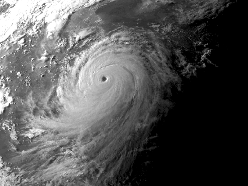
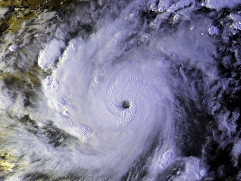
An unusual hurricane is currently over the North Atlantic – the first to exist in January since 1955 and first to actually form in the month since 1938. The tropical cyclone season in the North Atlantic is typically from June to November. Alex currently lies about 1000 km west of the Canary Islands and is expected to move northwards bringing stormy conditions to the…
-
Wettest December in over 100 years and the role of a changing climate
December 2015 has been one of the wettest and warmest on record (based on observations since 1853), and has also been marked as the wettest calendar month since 1910. Unsurprisingly, this has raised thoughts over what factors may have influenced this record-setting weather, assuming it has been anything out of the norm to begin with. According to Professor Dame Julia Slingo, Chief Scientist at the Met…

